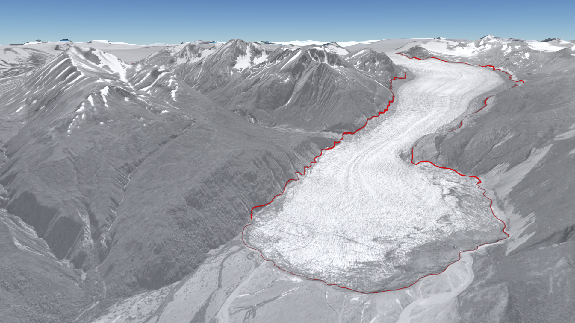
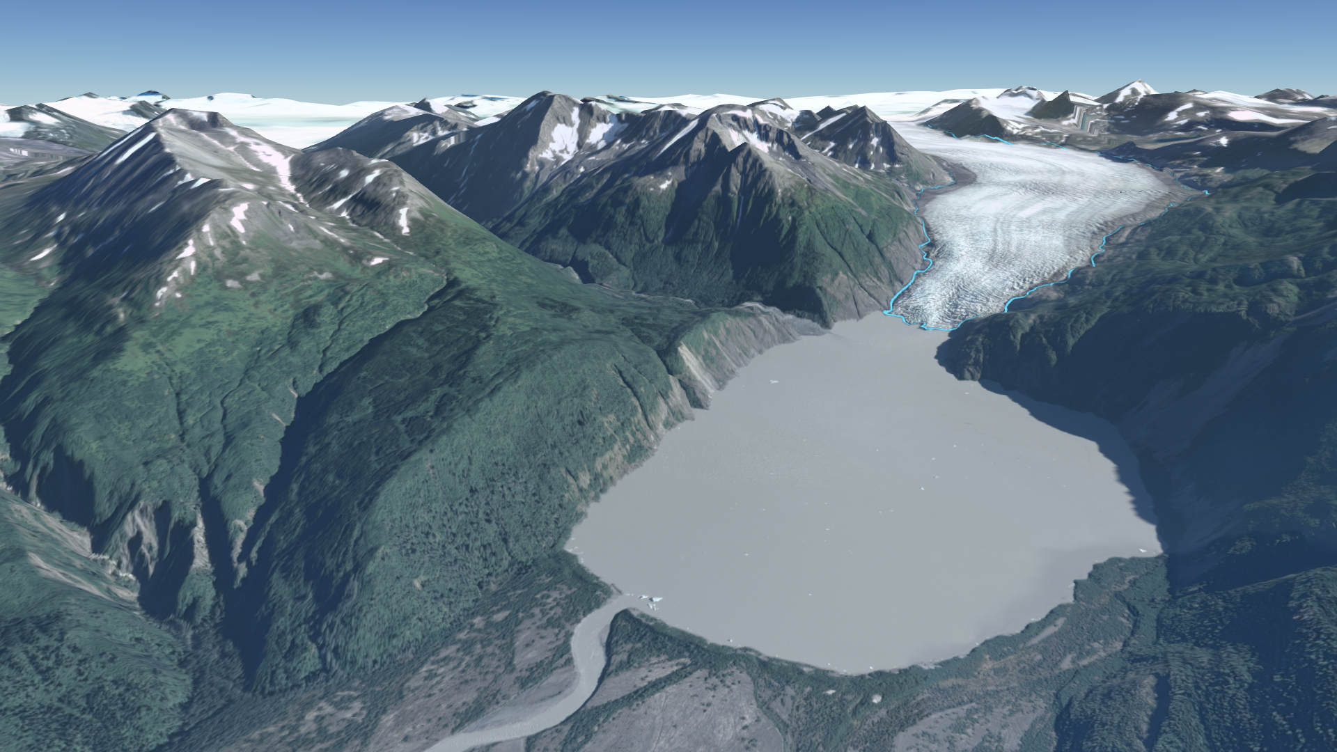
The image on the left shows a black and white aerial imagery from 1952 with the extent of the glacier shown in red; the right image is a high resolution satellite image acquired in 2013 with the extent of the glacier shown in blue.
Instructions: Use your mouse to drag the center slider.
This work supported by Alaska EPSCoR NSF award #OIA-1208927 and the state of Alaska